


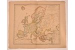
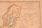
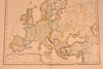
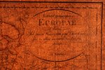
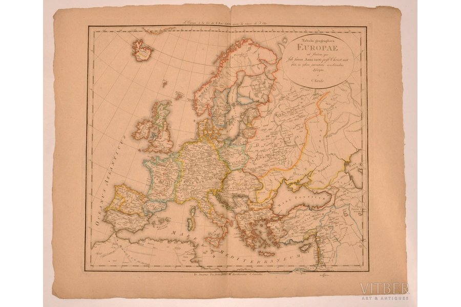
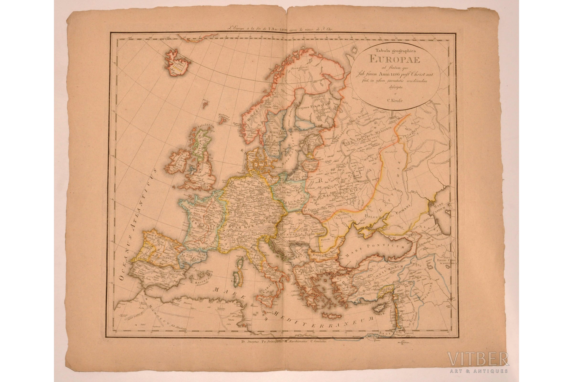
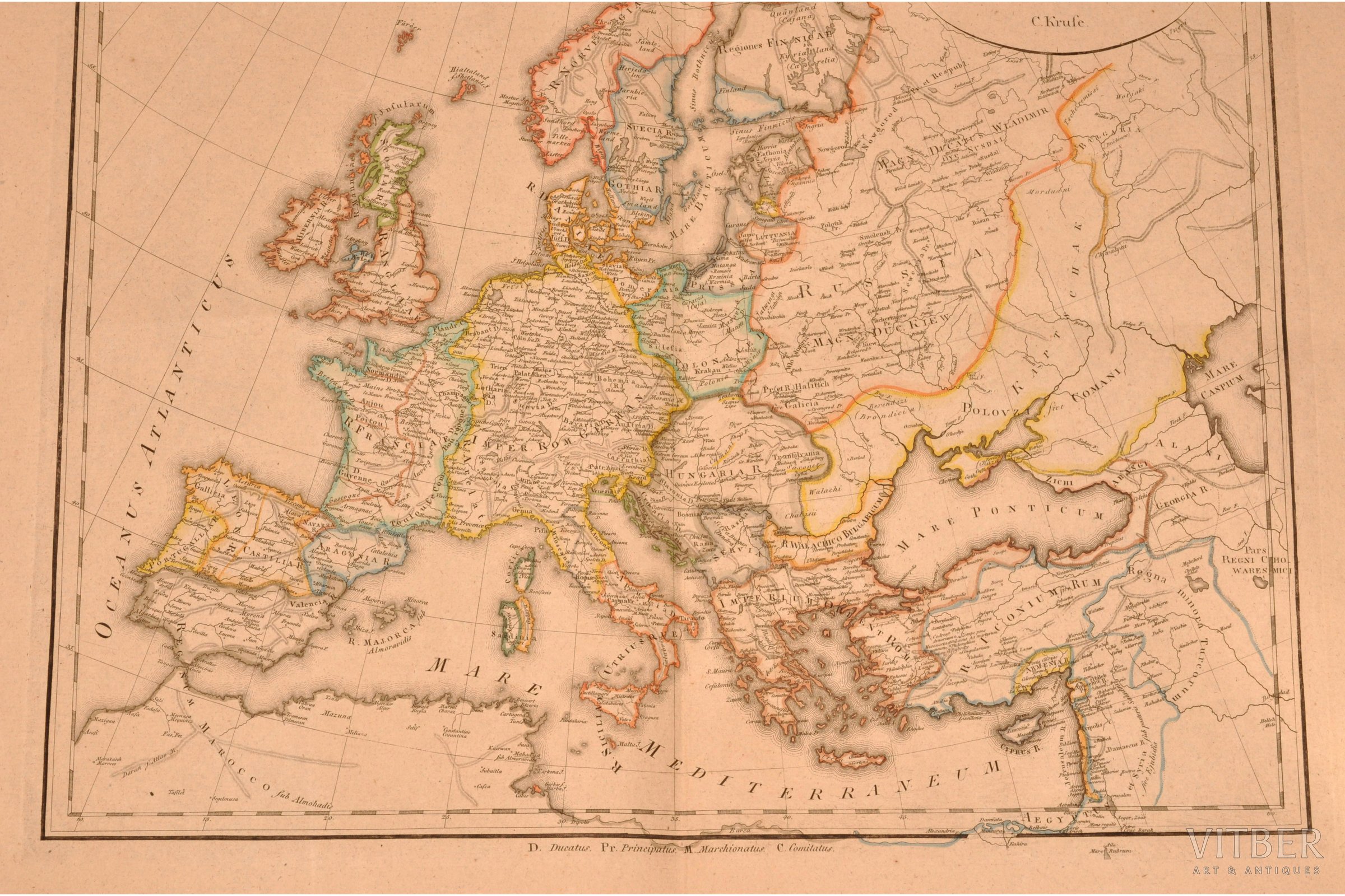
map, 19th cent., 64 x 49.8 cm, gravure of the 19th century
| printed work form: | map |
|---|---|
| title: | Tabula geographica Europae ad statum, quo Sub finem Anni 1200 post Christ. nat. fuit, in usum juventutis erudiendae descriptu a C. Krufe |
| language: | french |
| language: | in Latin |
| period of impression: | 19th cent. |
| dimensions: | 64 x 49.8 |
| additional information: | gravure of the 19th century |
Fill in this form to ask site administration question about this item
* Required fields
* Required fields