


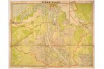
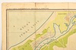
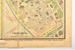
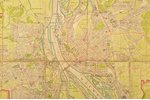
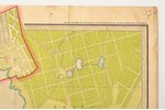
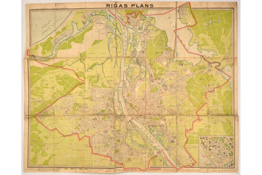
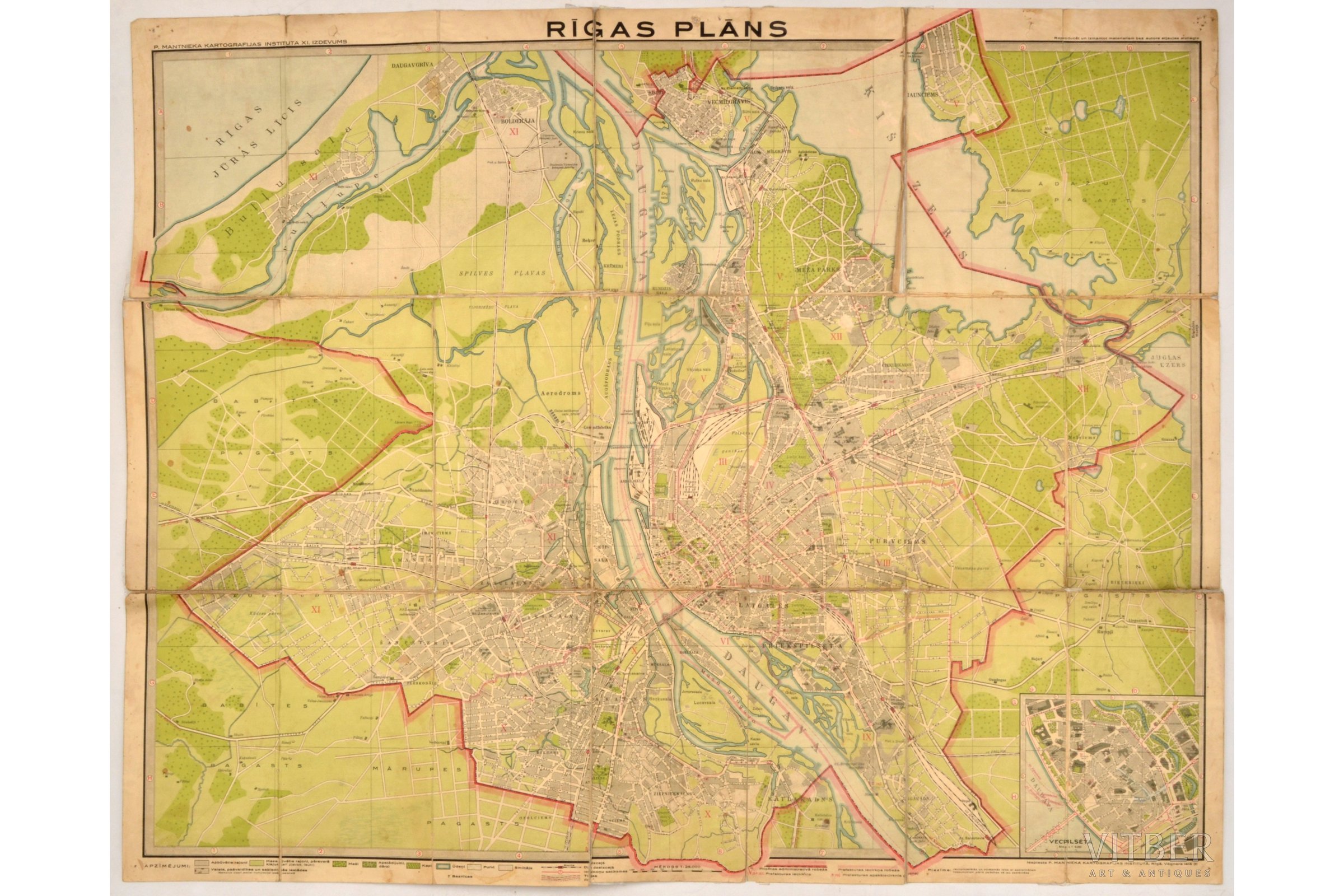
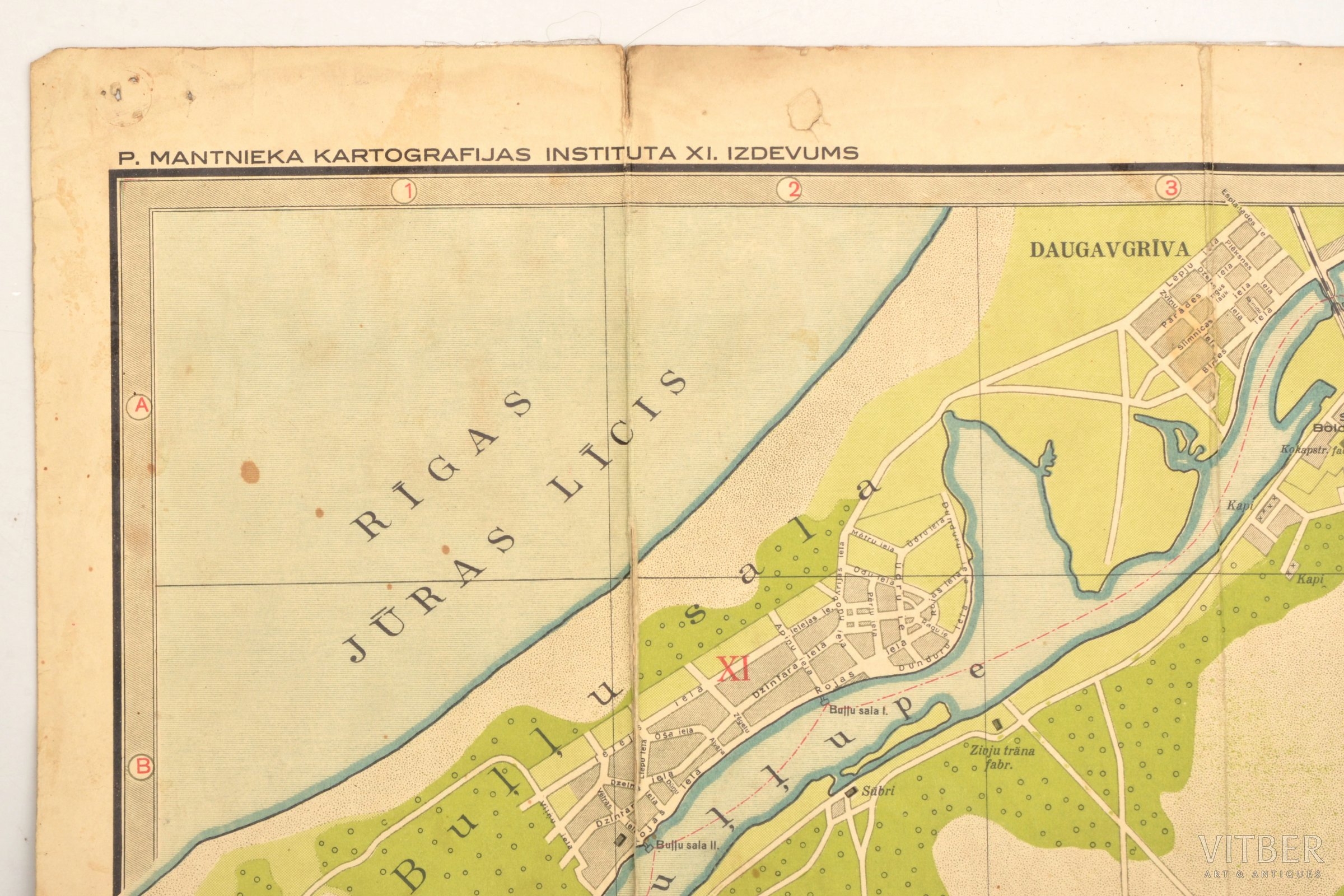
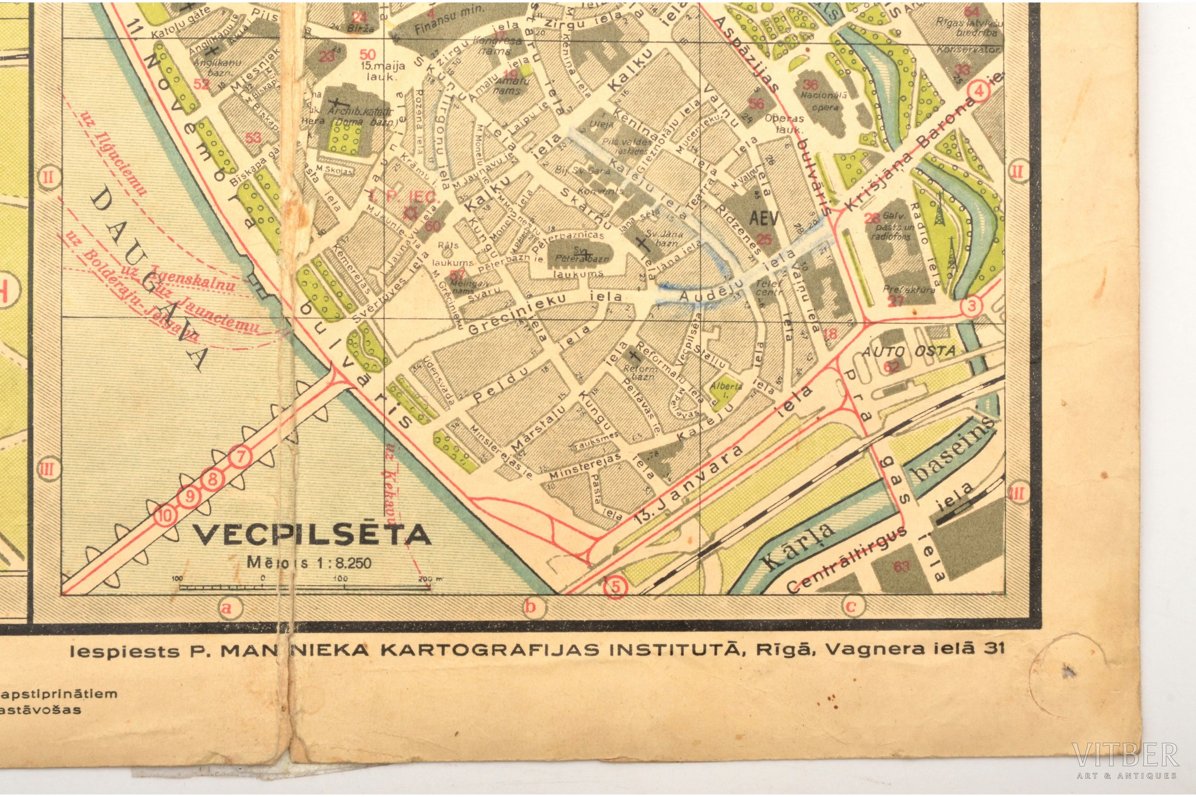
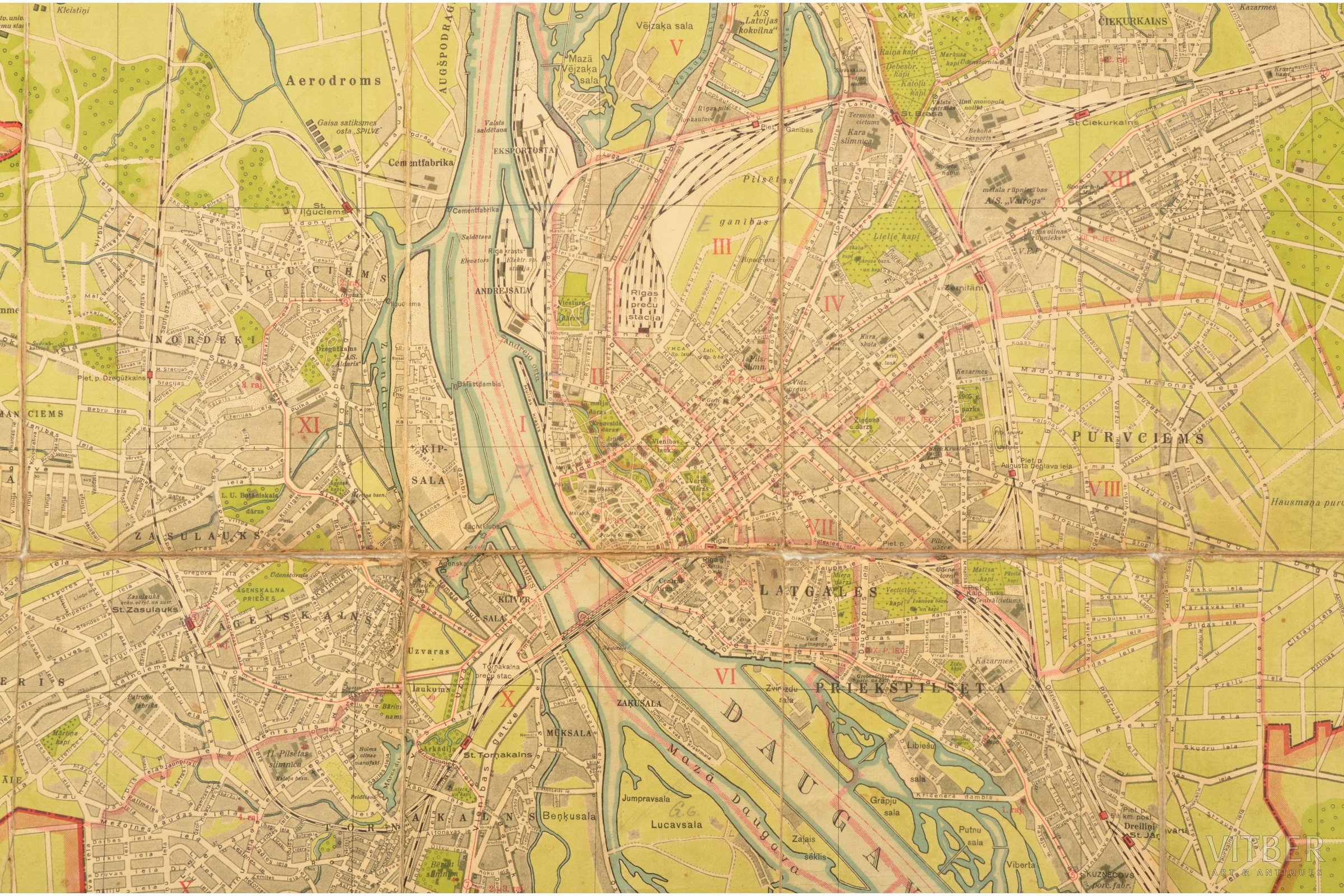
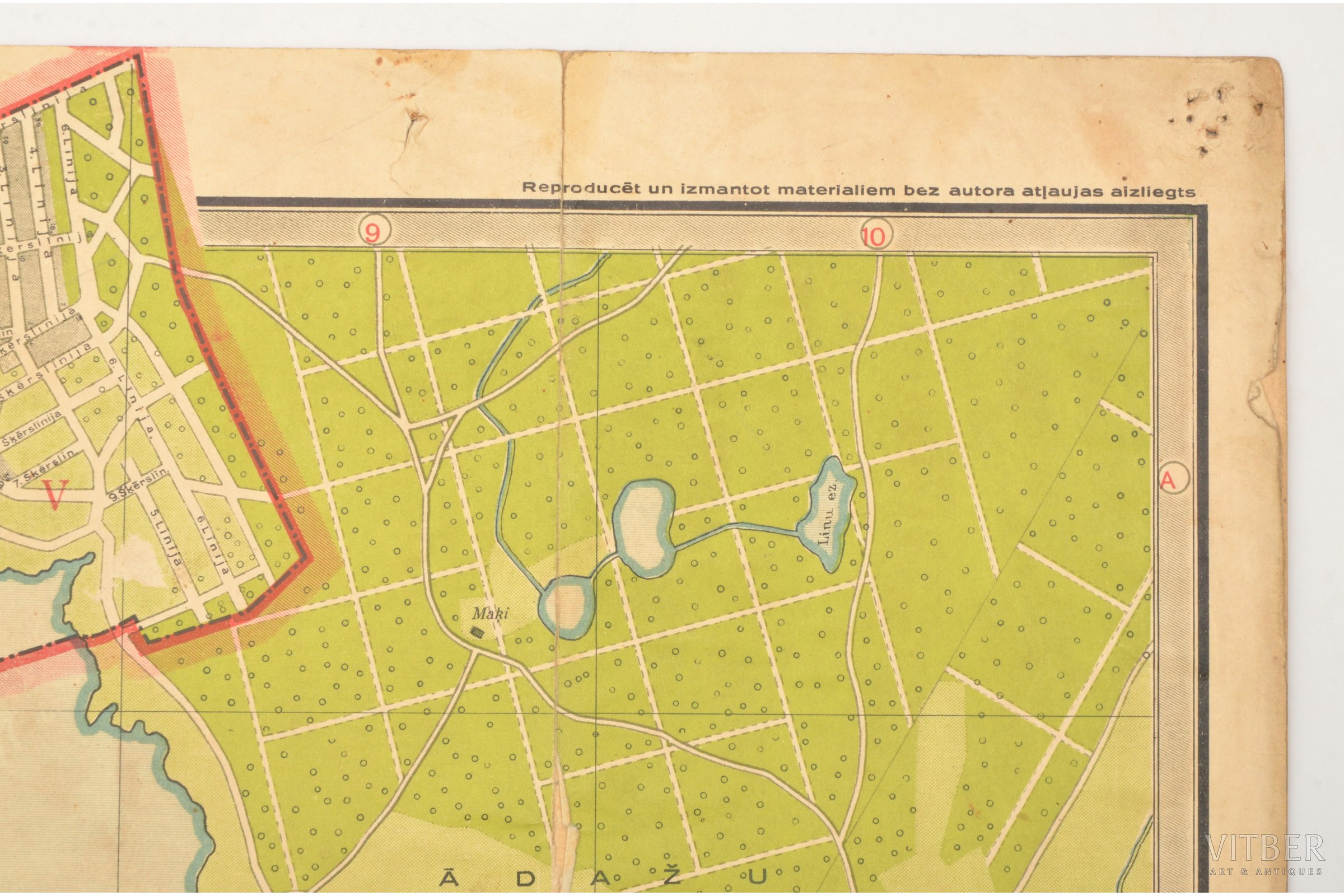
map, plan of Riga, published by "P. Mantnieka kartogrāfijas institūts" in Riga, Latvia, 20-30ties of 20th cent., 70.4 x 88 cm, map is glued along folding lines
| printed work form: | map |
|---|---|
| title: | plan of Riga, published by "P. Mantnieka kartogrāfijas institūts" in Riga |
| country: | Latvia |
| language: | latvian |
| period of impression: | 20-30ties of 20th cent. |
| dimensions: | 70.4 x 88 |
| additional information: | map is glued along folding lines |
Fill in this form to ask site administration question about this item
* Required fields
* Required fields